Tutor: Mevr. Stolk
Student: Luuk Jansma
Class: 1MH
Date: April 30, 2016
Introduction
In this document I will tell something about the Hadrian’s Wall. I will tell about the dimensions, route and construction. I have found a good internet page on Wikipedia and I have seen a short movie. I will also tell something about Unesco, the materials they used, the location, the name of the Hadrian’s Wall, tourists visiting the Hadrian’s Wall and the route.
Dimensions
The length of the Hadrian’s Wall is 117,5 km or 73 mile. The height of the Hadrian’s Wall is 2,4 m. The Hadrian’s Wall is built in 122 AD.
Unesco
Unesco has a world heritage list and the Hadrian’s Wall is on that list. The world heritage list is a list with all important buildings which we think must be preserved. Unesco is an organisation that was founded by the United Nations.
 Figure 1: Logo Unesco
Materials
In 122 AD the people use stone and turf for their buildings. The Hadrian’s Wall is also build out of stone and turf.
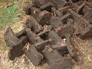
Figure 2: Example of turf
Location
The Hadrian’s Wall lies in the centre of Great-Britain. The Hadrian’s Wall lies between the cities of Carlisle and Newcastle.
The name
The name of the Hadrian’s Wall comes from a Roman leader. That leader was called Hadrian and the Latin name of the Hadrian’s Wall is Vallum Ilium. The Hadrian’s Wall also have a number of forts:
- Aballava
- Banna
- Vindobala
- …
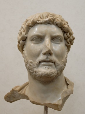
Figure 3: Hadrian
Touristic
The Hadrian’s Wall is very touristic because the Hadrian’s Wall has a good travel path near the sea and the Hadrian’s Wall is old and shows some history of the Roman Empire. There are guides that will show you around and tell something about the Hadrian’s Wall.
Hadrian’s Wall crew
There used to be 9.000 men as crew of the Hadrian’s Wall. They had to cope with many attacks in the years of 180, 196 and 197. In the year of 400 the crew was not able to protect Great-Britain and the wall was conquered from the Romans.
Route
Hadrian’s Wall lies from Segedunum at Wallsend on the river Tyne via Carlisle and Kirk Andrews-on-Eden to the shore of the Solway firth ending a short but unknown distance west of the village of Bowness-on-Solway.
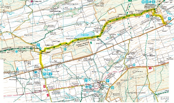
Figure 4: The route of the Hadrian’s Wall
After Hadrian
In the years after Hadrian’s death in 138 the new leader: Antoninus Pius begin to build a new wall called the Antonine Wall. Later the wall was renamed the Scottish Lowlands.
